ANSI shines a spotlight on Standards in action as they support safety, efficiency and well-being in interesting aspects of everyday life.
A team of scientists and researchers has found the famed shipwreck of the Endurance in the Antarctic waters of the Weddell Sea. The 144-foot wooden ship sank in 1915 after getting stuck in ice during an Antarctic exploration. It drifted for 10 months until the ice slowly crushed the ship; its crew set up camp on the ice, living there for five months after the ship sank until the ice finally broke.
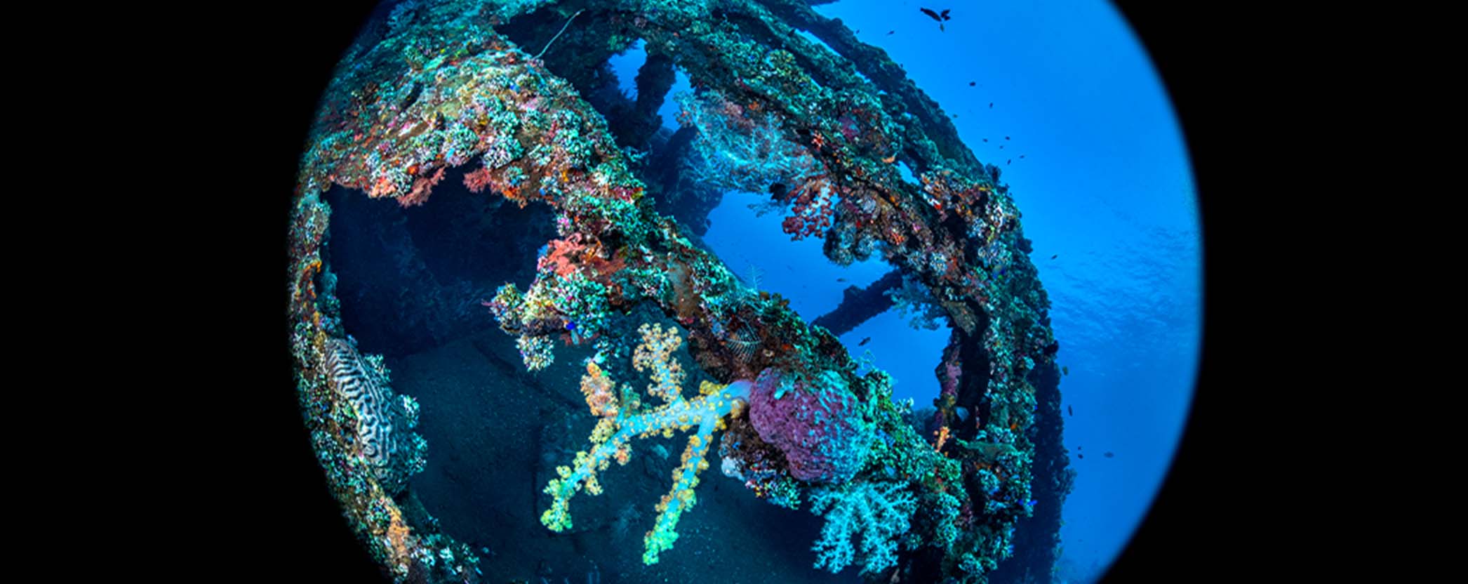
In the 106 years that followed, the Endurance has become one of the most famous tales of marine exploration, and its wreck was one of the most legendary around the world. Upon locating it, scientists took detailed scans, photographs, and videos, revealing that it is largely intact in spite of its age. The wreck is a historical monument under the terms of the Antarctic Treaty, and none of the cameras or other equipment used touched or disturbed it.
The expedition to find the sunken ship centered on a search through icy waters that lasted more than two weeks. Marine navigation tools supported explorers in combing a 150-square-mile area around where the ship sank. Tools for navigating the seas have long been supported by standards, such as these from the International Organization for Standardization (ISO):
These standards were developed by ISO Technical Committee (TC) 8, Ships and marine technology, Subcommittee (SC) 6, Navigation and ship operations. The American National Standards Institute (ANSI)-accredited U.S. Technical Advisory Group (TAG) administrator to this TC and SC is the U.S. Coast Guard.
Positioned in the right area of the Weddell Sea, explorers released battery-powered submersibles that combed the sea floor, scanning it with sonar to identify anything that rose above the smooth seabed. Standards and specifications for sonar tools support the development and effective use of this technology, including American National Standard (ANS) INCITS/ISO TS 19130-2, Geographic information -- Imagery sensor models for geopositioning -- Part 2: SAR, InSAR, lidar and sonar. This Technical Specification (TS), developed by the InterNational Committee for Information Technology Standards (INCITS), specifies the sensor models and metadata for geopositioning images remotely sensed by Synthetic Aperture Radar (SAR), Interferometric Synthetic Aperture Radar (InSAR), LIght Detection And Ranging (lidar), and SOund Navigation And Ranging (sonar) sensors.
High-resolution cameras were then lowered into the water to capture images and scans of the remarkably well-preserved wreck, which will be used for educational materials and museum exhibits. The expedition also provided an opportunity for ice researchers to gather samples of Antarctic sea ice to support research on how ice may change as a result of global warming. Standards guide the collection of samples for scientific analysis, including ASTM International standards ASTM D3694, Standard Practices for Preparation of Sample Containers and for Preservation of Organic Constituents, and ASTM D6517, Standard Guide for Field Preservation of Ground Water Samples. Scientists on board were able to collect an astounding 630 samples from 17 locations to further their research.
Learn more about the Endurance and the expedition that found the shipwreck in The New York Times: At the Bottom of an Icy Sea, One of History’s Great Wrecks Is Found.
